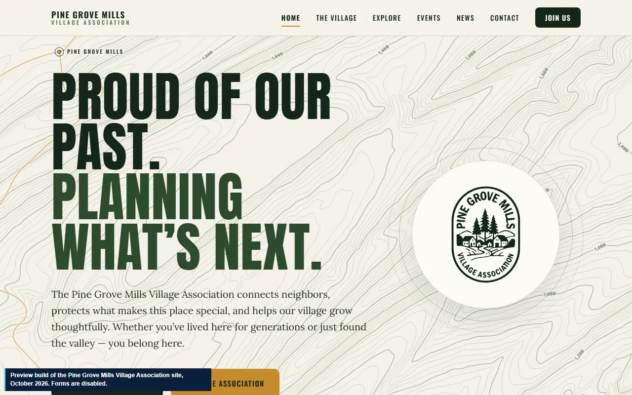
Work · Website · pre-launch build
A village association's first website maps its history and states only what it can verify
The Pine Grove Mills Village Association is a community group in Pine Grove Mills, Pennsylvania. We built its first website: eight pages with an interactive village map, events that remove themselves once they have passed, and a researched village history. The site is a finished pre-launch build waiting on details only the association can supply.
- Client
- Pine Grove Mills Village Association
- Type
- Community association, Pine Grove Mills, Pennsylvania
- Status
- Pre-launch build, October 2026
- Services
- Web Development
The client and the goal
Pine Grove Mills is a small historic village in Centre County at the foot of Tussey Mountain. Its village association connects neighbours and looks after what makes the place special. It had no website.
The site needed to serve three audiences at once (current residents, nearby communities and people thinking about moving there) and to say nothing it could not back up.
What we built
- Eight pages: home, the village, explore, events, news, contact, photo credits and a not-found page.
- An interactive Explore map built with Leaflet, with USGS base maps and lidar relief, and layers for the village boundary and FEMA flood zones.
- A then-and-now view that compares historic USGS maps of the village with today's map and aerial photo.
- Events that drop off on their own once their date has passed, so the page never shows stale dates.
- A researched village history, written from a sourced research pack.
- A credits page for every image, with the photographer, licence and source.
How we built it
Nothing unverified. A deliberate rule: any fact we could not confirm from more than one source, or from the association itself, was left off or worded cautiously. Where information only the association can supply is missing, the site says so plainly instead of guessing.
Brand. We worked from the association's brand specification: its seal, a forest-green palette with one goldenrod accent, and typefaces chosen for legibility, including Atkinson Hyperlegible for forms and dates. The background contour lines are drawn from real elevation data for the village and the ridge.
Fast and light. Plain HTML, CSS and a little JavaScript. The map library loads only when the map comes into view, and photos ship as responsive WebP with JPEG fallbacks.
Open licences, properly credited. Several photos and the locator map are licensed CC BY-SA, which requires attribution wherever they appear, so every image carries a caption and the credits page lists them all.
Explore the preview build
This is the pre-launch build, hosted on our domain. The sign-up forms are switched off. The map tiles and the site's typefaces load from USGS, OpenStreetMap and Google Fonts, as they will on the live site.